A Winter Walk on School Mountain Road Hubbard Perkins Conservation Area

In the 1800s, this land was worked by tireless farmers, miners and timber men. Vestiges of their presence are like ghosts of a bygone error.  The historical traits like these make every one of the 22 Hikes in Philipstown a lesson of the past and add to their natural pleasures. We’ve now hiked 15 of the 22, each has its own story to tell. Continue reading A Winter Walk on School Mountain Road Hubbard Perkins Conservation Area

Facebooktwitterredditpinterestlinkedinmail

A Fall Hike Up Sugarloaf Hill

sugarloaf-hill-philipstown-reflection-pond

Fallen leaves present a new beauty and longer vistas on the high hills like Sugarloaf in Hudson Highlands State Park. Our 13th of the 22 Philipstown hikes.

A interesting historic area from the entry point off route 9D near Garrison Institute. You’ll pass old farms and barns and catch views of the magical Osborne Castle Rock and remnants of ancient stone walls and carriage trails.

sugarloaf-hill-philipstown-osborn-estate-stone-wall

The trail starts easily with long views of farm meadows and hills far beyond, across the river.

sugarloaf-hill-philipstown-hiking

Following the red marked trail you’ll come across a pretty restored gazebo with a place to lunch or simply refresh. Please be sure to take out waste.

sugarloaf-hill-philipstown-gazebo-view sugarloaf-hill-philipstown-gazebo-view-seat

Keep walking and you come to a beautiful pond held in place by a wall of men’s labor.

sugarloaf-hill-philipstown-reflection-pond sugarloaf-hill-philipstown-reflection-pond-trees

Further up the trail goes from moderate to somewhat difficult but takes you above Castle Rock and with no leaves a beautiful view.

It was a gray cloudy day so capturing great photos was a little challenging. These have been computer enhanced for beauty.

sugar-loaf-woods-high sugar-loaf-woods-high-hiking

The red trail intersects with a blue trail that goes over the mountain and down to route 9 by 403.

sugarloaf-hill-philipstown-blue-and-red-trails-merge

In the distance you can see the gazebo there. We walked that trail last spring, called White Rock Walk I believe.

sugar-loaf-near-gazebo-on-white-rock-trail

Heading back we passed a stone marker like those you find at the entrance of Arden Point trail.

sugarloaf-hill-philipstown-stone-marker

And enjoyed more views.


sugarloaf-hill-philipstown-meadow-viewl sugarloaf-hill-philipstown-meadow-view-long-distance

Sugarloaf Hill Hike


Facebooktwitterredditpinterestlinkedinmail

A Different Sort of Beach Walk at Little Stony Point

little-stony-pont-beach-cold-spring-view-to-the-north

We’ve walked so many beaches, oceans and seas, continents, none quite like this one just a few miles from home, along the beloved Hudson River, a precious place to explore.

Best time is the early morning, during the week, as you might expect it becomes very populated on the weekends. This visit was on Wednesday September 7th.

Little Stony Point, part of the Hudson Highlands State Park is considered one of the most beautiful places in the Hudson Valley. Sadly the park is not cared for by the many visitors as much as Pete Seeger had, a frequent habitué who was know for always taking out a bag of litter. We did.

Though if you walk beyond the closest trails you’ll find the many unsullied magical spots as we’ve captured here. The  Little Stony Point Citizens Association does a lot to keep this place beautiful, but they could use all our help. If you do visit we hope you will.

diana-walking-back-if-you-come-to-a-fork-in-the-roadAt the entrance there is a fork in the trail and as Yoga Berra advised, “If you come to a fork in the road, take it.” Either way the paths lead you to the river and the contemplative beaches.

little-stony-pont-beach-cold-spring-view-through-trees

Through the trees the sun glistens off the water.

little-stony-pont-beach-cold-spring-sandy-beachAnd entices you to broader views and placid spots to mediate.

little-stony-pont-beach-cold-spring-view-to-the-northTo the north. So exciting.

little-stony-pont-beach-cold-spring-view-to-the-southAnd the south. The view can be vast.

The further you walk the cleaner the park is. But do watch out for what some careless dog owners leave behind.

little-stony-pont-beach-cold-spring-view-winding-path

A stony path.

little-stony-pont-beach-cold-spring-view-stony-dune

Stony dunes.

little-stony-pont-beach-cold-spring-view-meadow

And a meadow.

little-stony-pont-beach-cold-spring-view-fire

A fire would be nice on a chilly night.

little-stony-pont-beach-cold-spring-twisted-roots

Gnarled roots. Look like slithering prehistoric snakes.

little-stony-pont-beach-cold-spring-sandy-beach-two

Pretty sand. We may bring our beach chairs next time.

little-stony-pont-beach-cold-spring-cave

Funny sites, does a bear live here?

little-stony-pont-beach-cold-spring-beach

Stony beach with inviting water.

little-stony-pont-beach-cold-spring-beach-my-dream

Graffiti is dismaying, but I do love the words.

little-stony-pont-beach-cold-spring-beach-magical-light

Magical light above the beach.

diana-walking-along-water-little-stony-pointYou can get lost in reflective reverie, with great joy and comfort.

More

Little Stony Point Citizens

Little Stony Point – Hike the Hudson Valley

Facebooktwitterredditpinterestlinkedinmail

Discovered a Prayer Path in Garrison

Garrison Prayer Trail The Second Cross Vignette

It is a mystery to me. I wonder what the story is on the ten wooden crosses that we found on a winding path near the Garrison Institute.

I know that the building and grounds here were once the home of the friary and a convent of the Capuchin Franciscans, Province of St. Mary. They acquired the property back in the 1920’s.  But, they have not been here for well over 15 years. While some of the crosses are very old, a few look brand new. Some souls are taking care of this treasure that I have called the “Prayer Trail.”

Since we moved to Garrison’s Landing 18 months ago we have walked the trails to Arden Point and the paths called Marica’s Mile dozens of times, but it was just recently we discovered the paths, part of Marcia’s Mile, that venture into the woods close to Garrison Institute.

Let me walk you through them.

One of the multiple entrances to these paths is right behind the marker that designates the way between Arden Point and Marcia’s Mile.

The Prayer Trail Starts Here

The trail wonders up into the woods.

Garrison Prayer Trail Starts Heading A mild incline into the woods

Following the main path which does branch off here and there you will come across the first cross.  This is one of the new crosses. Who you think put it here?

Garrison Prayer Trail The First CrossGarrison Prayer Trail The First Cross 2Garrison Prayer Trail The First Cross 4Further on is the second cross which is older. It stands on a rise. Overlooking the river.

Garrison Prayer Trail The Second Cross 2Garrison Prayer Trail The Second Cross 3

Most of the crosses are surrounded by some rocks, at first we though they might be grave markers.

Here is the third cross. We dismissed the grave marker idea.

Garrison Prayer Trail The Third Cross Garrison Prayer Trail The Third Cross 2

Along the way you will see remnants of stone stairs that were placed to make the trail easier.

Garrison Prayer Trail Old Steps

The fourth cross is in need of repair

Garrison Prayer Trail The Fourth Cross 2 Garrison Prayer Trail The Fourth Cross

Cross five has its horizontal piece broken away, I expect it will be repaired sometime soon.Garrison Prayer Trail The Fifth Cross

Garrison Prayer Trail Starts Heading North East

Cross six, is surround by stone blocks that form another cross. I can picture friars kneeling here in prayer.

Garrison Prayer Trail The Sixth Cross

The seventh cross is our favorite with the sitting area it has. The stone benches seem to have been in disrepair for some time but still quite tranquil and comforting. Perhaps here is where a group could sit and contemplate.

Garrison Prayer Trail The Seventh Cross Garrison Prayer Trail The Seventh Cross old sitting area Garrison Prayer Trail The Seventh Cross 2

The path rolls up and down through the woods and beds of Laurel
Garrison Prayer Trail Starts Trail Winds Up and Down
Garrison Prayer Trail Starts Heading A Pretty TrailThe eight cross is a newer one. Rousing more curiosity. We thought maybe they represented the eight apostles, but then we found two more.

Garrison Prayer Trail The Eighth Cross After this cross there is a fork in the trail. Following Yoga Berra’s advice “If you come to a fork in the road take it.”  If you want to see the ninth and tenth and find your way back to the main Marcia’s Mile path go to the right.
Garrison Prayer Trail SPlits down and to Garrison Institute

The left leads to the Garrison Institute buildings.

Garrison Prayer Trail SPlits down and to Garrison Institute 2

Very old boulders.

Garrison Prayer Trail Old Boulders

The ninth cross. Recently replaced, you can see the remains of the previous cross.Garrison Prayer Trail The Ninth Cross Garrison Prayer Trail The ninth Cross remains

The tenth cross.

Garrison Prayer Trail The tenth Cross Garrison Prayer Trail The Tenth Cross 2

I also thought they might be stations of the cross, but are missing four more places if it was that.

I’ve search the internet high and low and found no description for these crosses or even a mention of the trail.

If you know anything about them please let us know.

A Walk About Glenclyffe Loop

The Gazebo on the River in Glenclyffe


Facebooktwitterredditpinterestlinkedinmail

Hiking at Manitoga
Two Days – Two Paths

Manitoga Lost Pond Reflections

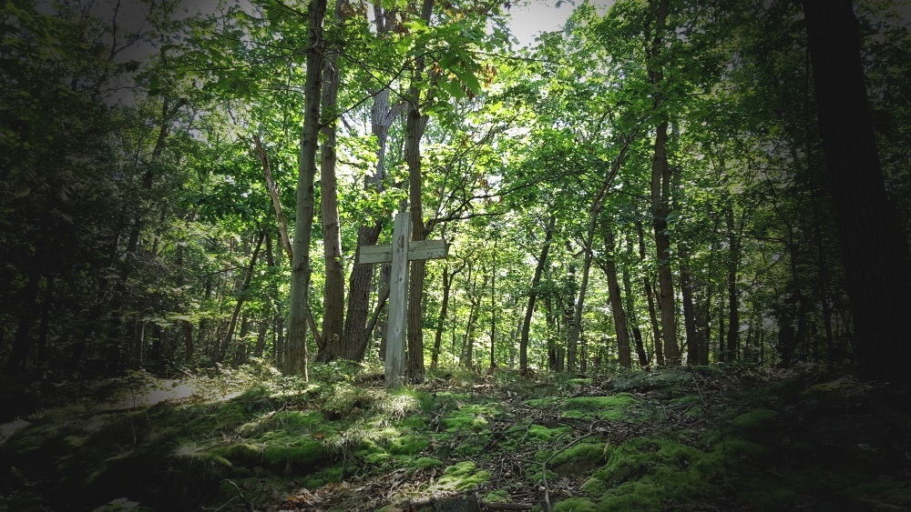
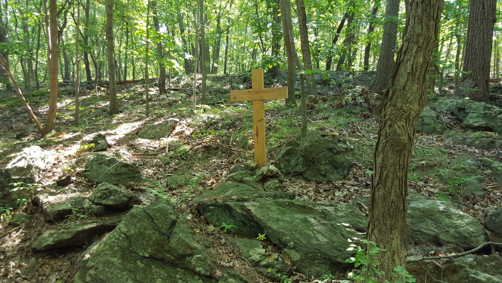
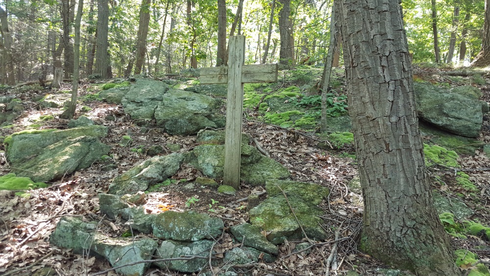
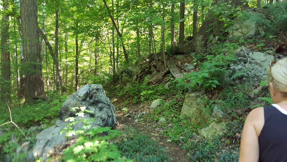
Near the crest of the Lost Pond Trail at Manitoga you will come upon a moving site, inspiring and quieting at the same moment. Named with the Algonquin word meaning “Place of the Great Spirit,” Manitoga is so filled with the spiritual essence of its creator, you can truly feel it.

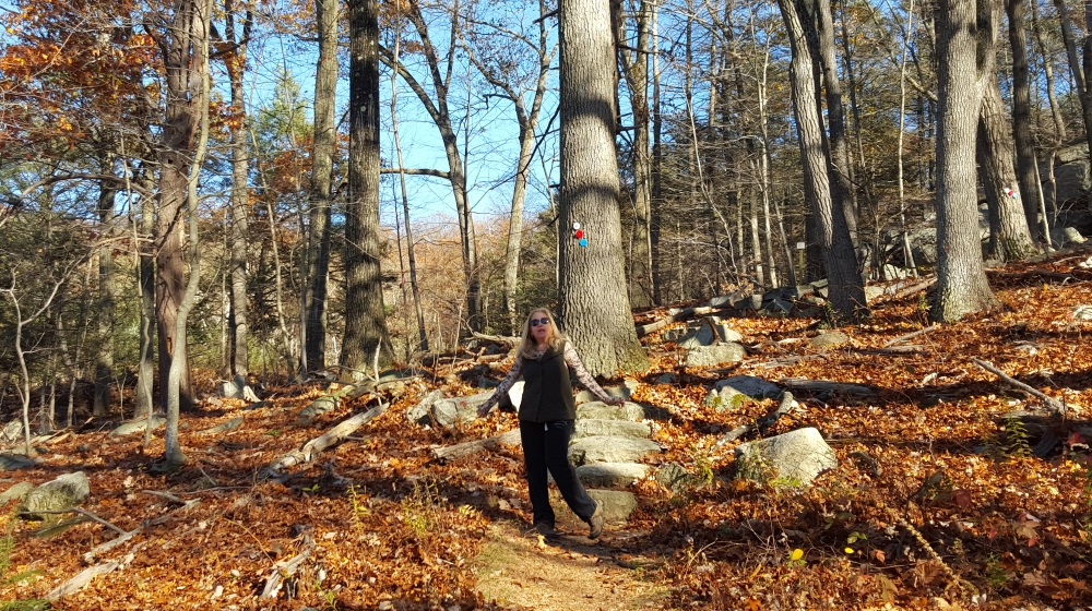
We walked two of the longer paths here on a cloudy day and then one filled with sun.

Manitoga Paths Diana Happy

This was the home of Russel Wright, the renowned forward thinking industrial designer. Created out of a desolate area that had been a quarry.  The house can be toured by special arrangements but the paths in the 75 acre woodland garden can be walked whenever the property is open.

Manitoga Paths Accross the Meadow is a map and guide
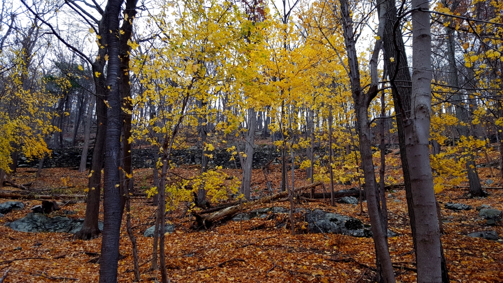
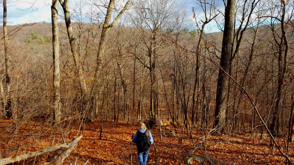
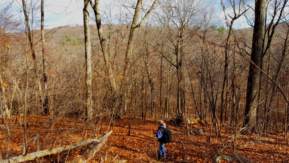
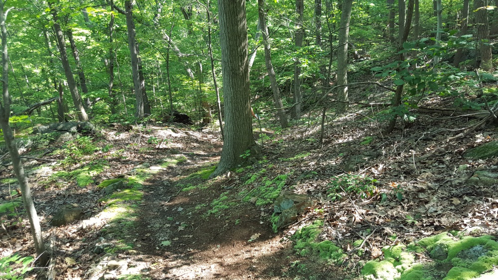
Beautiful on a cloudy or sunny day the paths ascend in a winding pattern ascending in stages as much 650 feet through the woods.

Manitoga Red Hat HikerEntry is from Route 9D, there is a parking lot.  Visitors first stop into the visitors center to sign in, get information and make a donation.

Manitoga Paths Entry House Register and Donate 
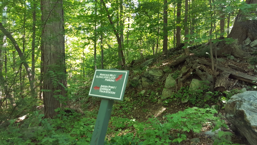
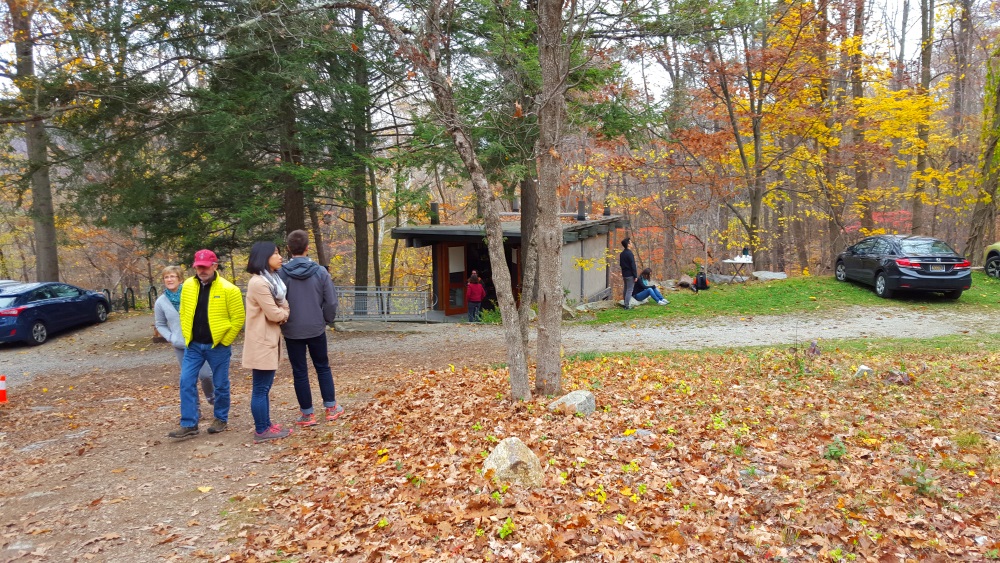
From here you will walk toward the paths, discrete signage leads the way.

Manitoga Paths Follow the Signs
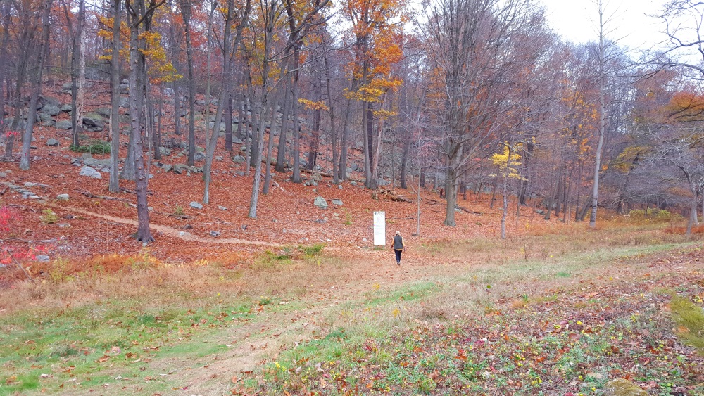
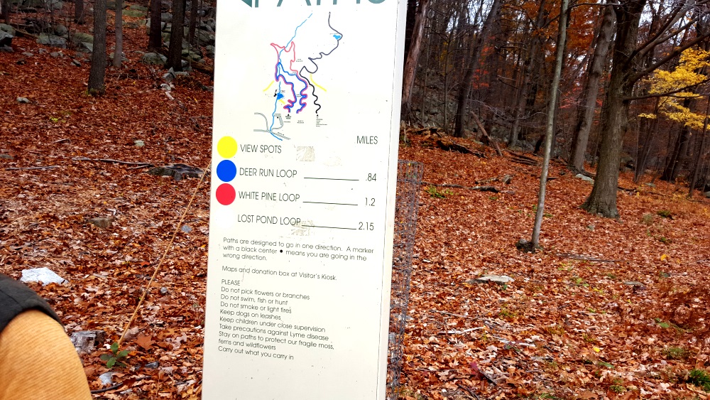
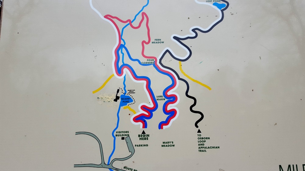
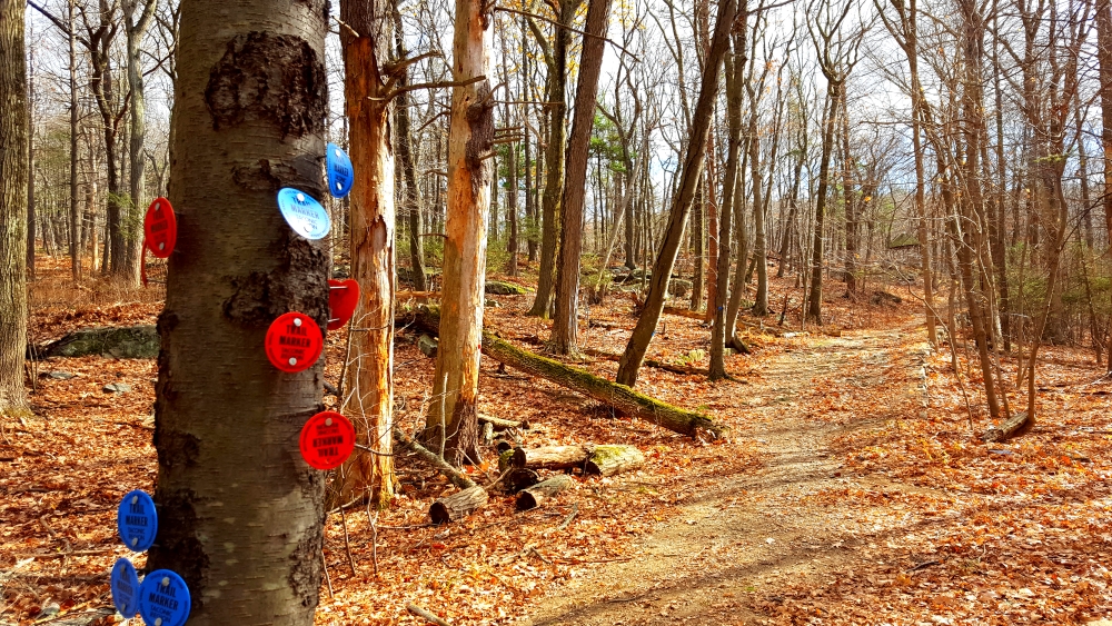
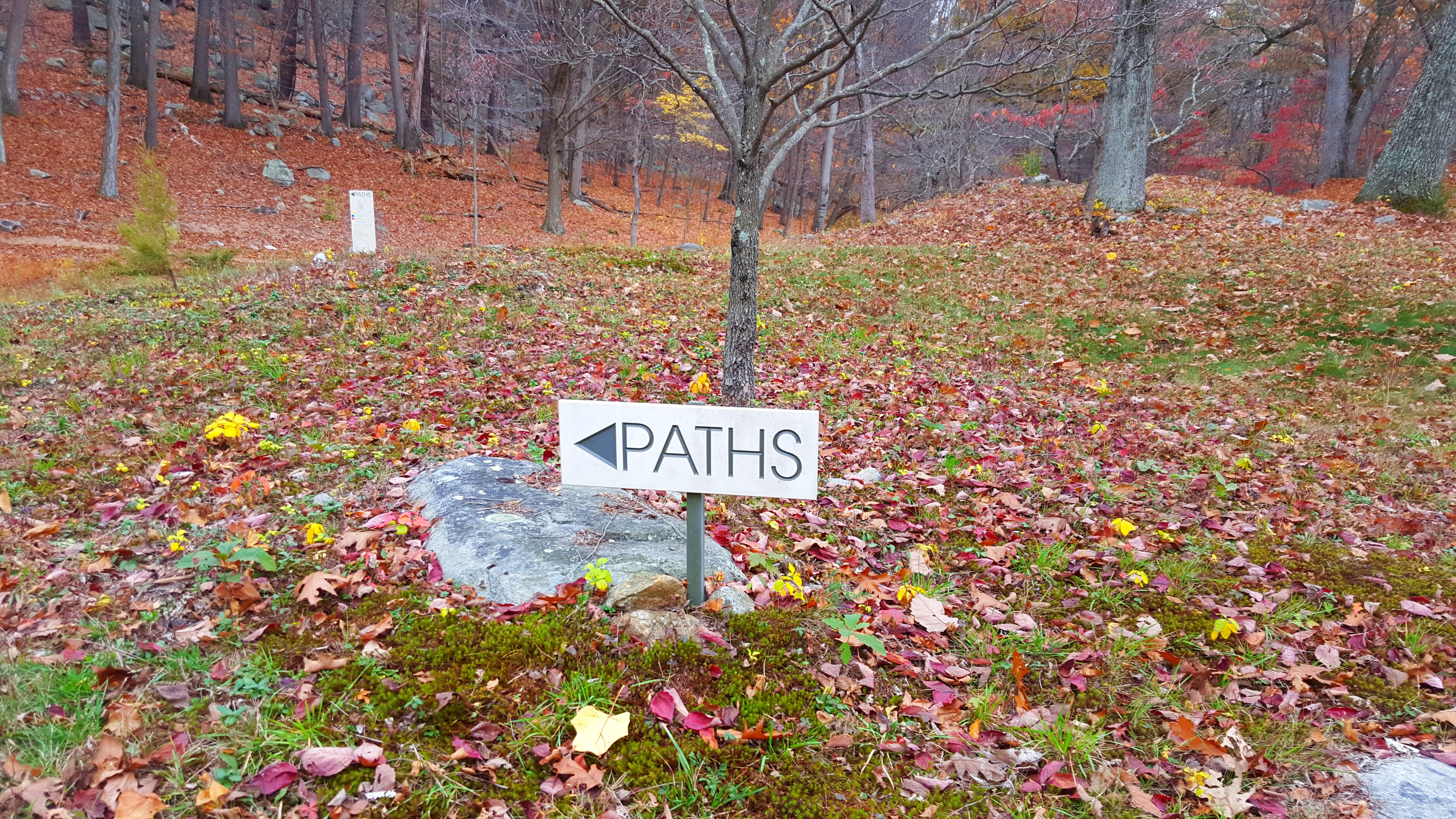
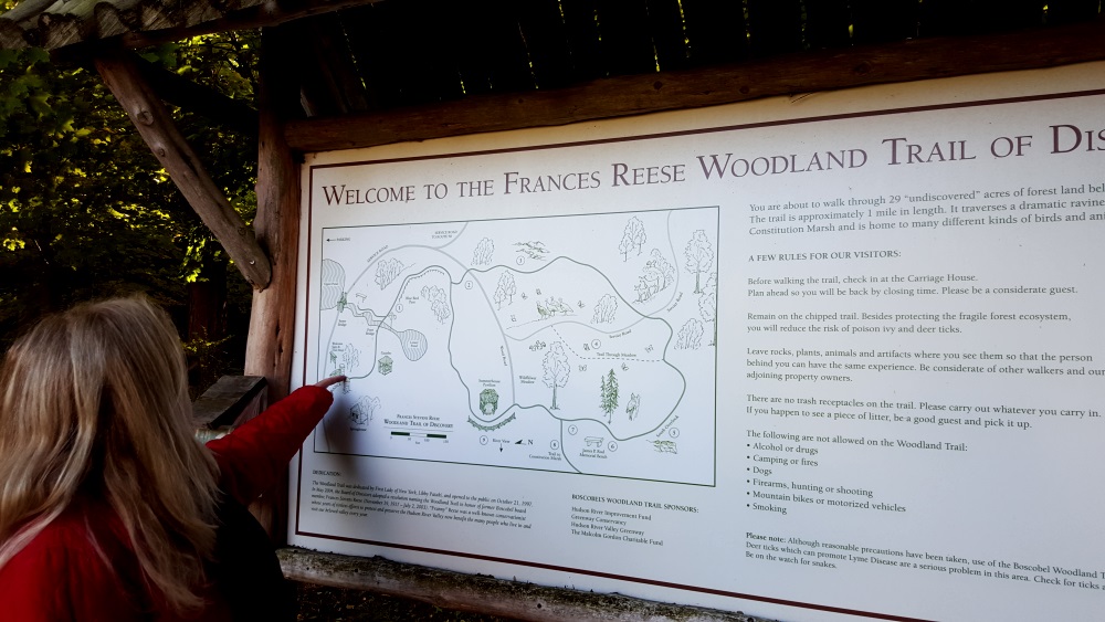
At the foot of the three trails there is a map and guide.

Manitoga Paths Map and Guide

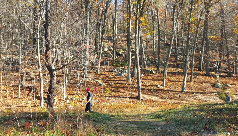
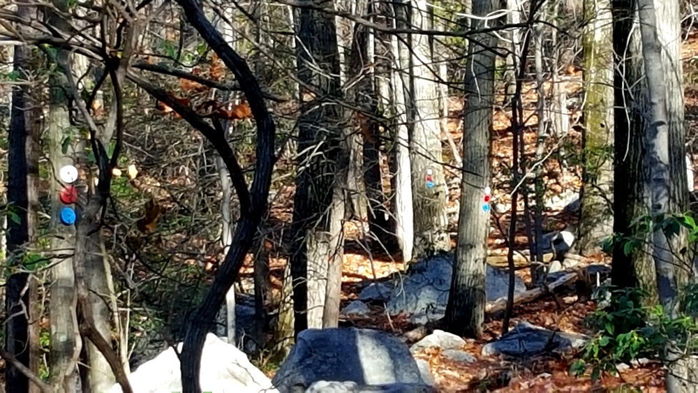
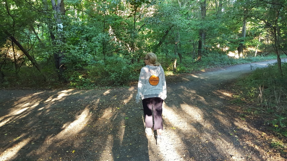
We walked the longer White Pine Loop marked with red and Lost Pond Loop marked with white.
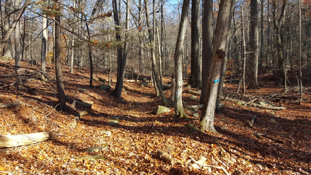
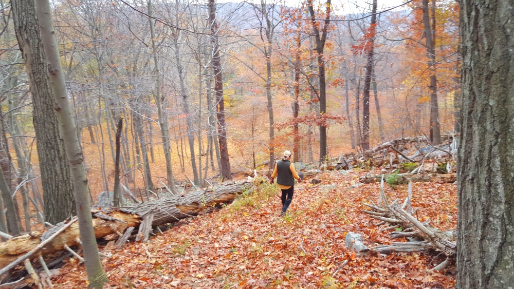
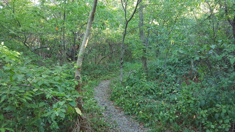
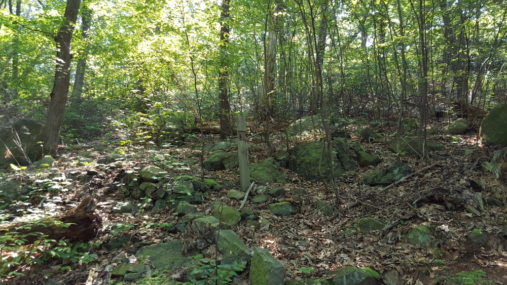
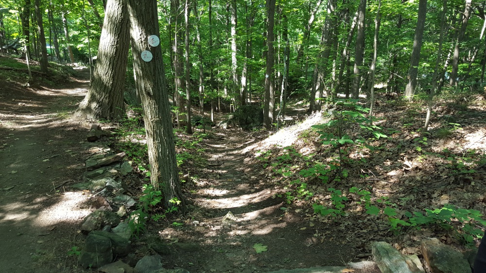
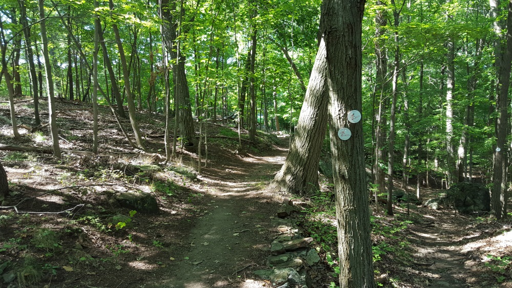
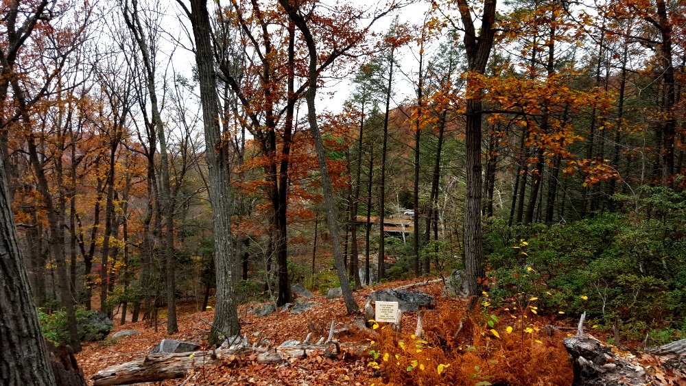
Manitoga Three Paths

Through the woods.

Manitoga Paths through woods

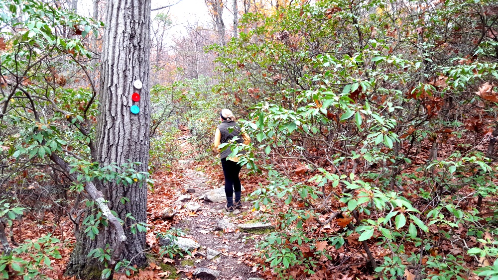
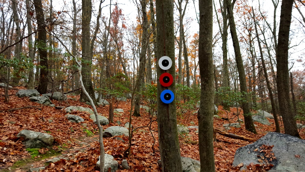
They travel together foe awhile and then branch off. The paths are meant to be walked in one direction, each a loop, the markers with a block dot indicate you are heading the wrong way.

Manitoga Paths Wrong Way

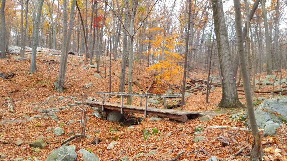
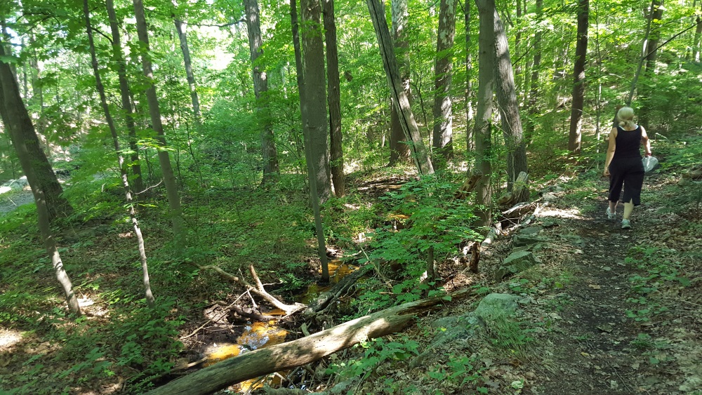
At points you will come to two bridges that go over the stream.

Manitoga Paths bridge over a streamManitoga Paths Rock Bridge

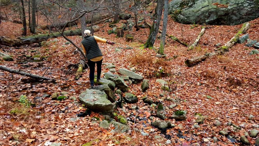
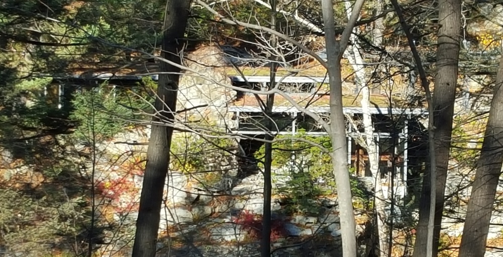
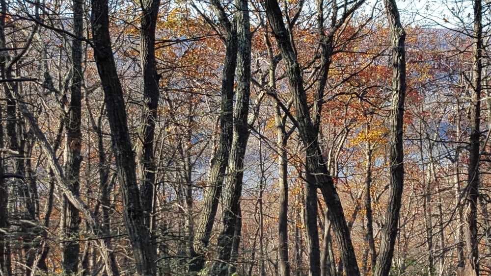
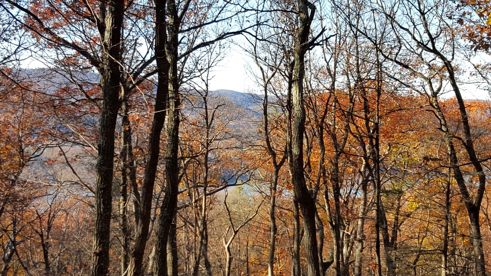
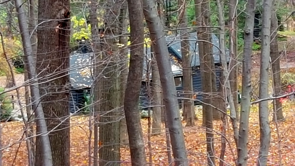
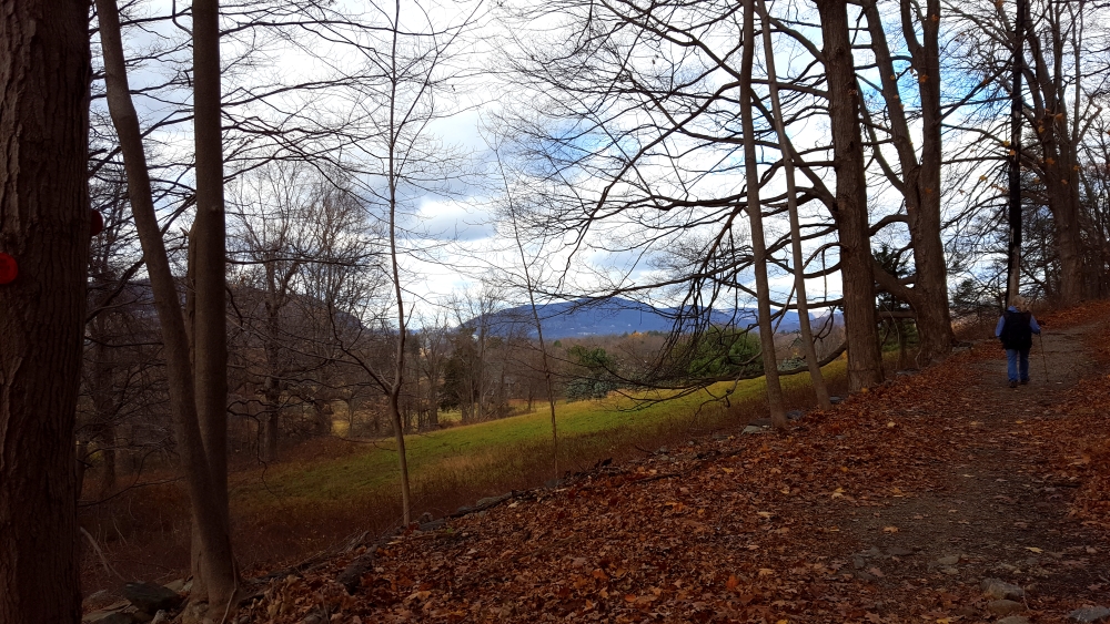
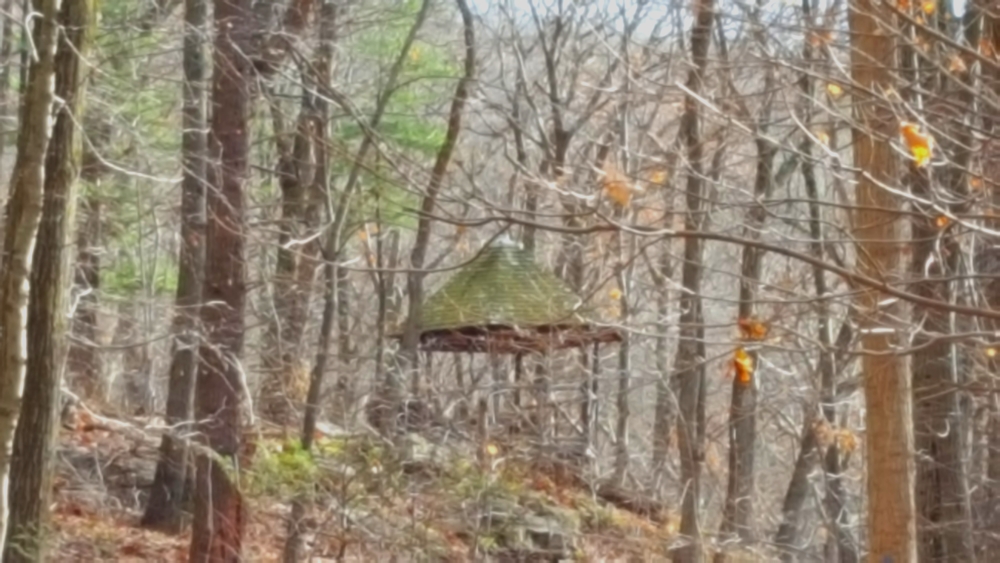
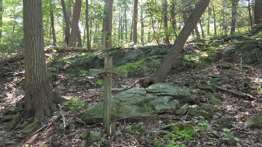
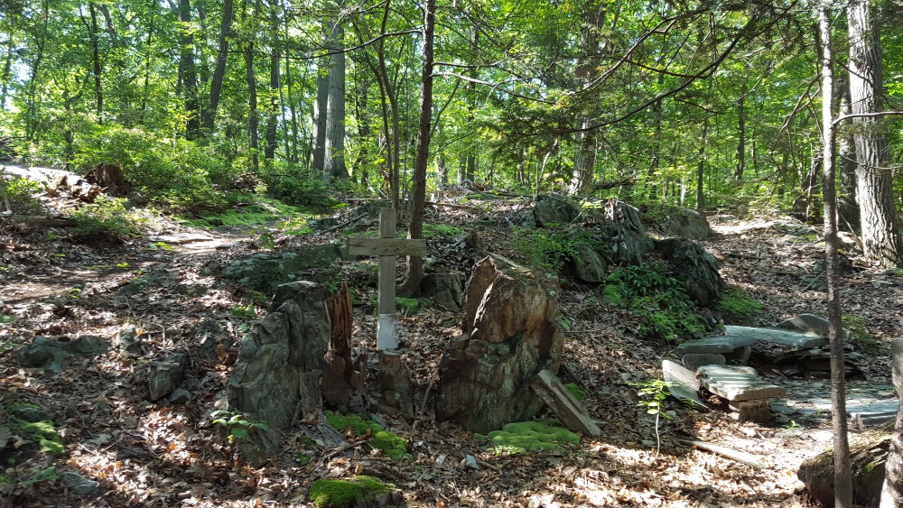
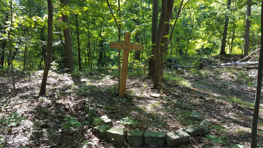
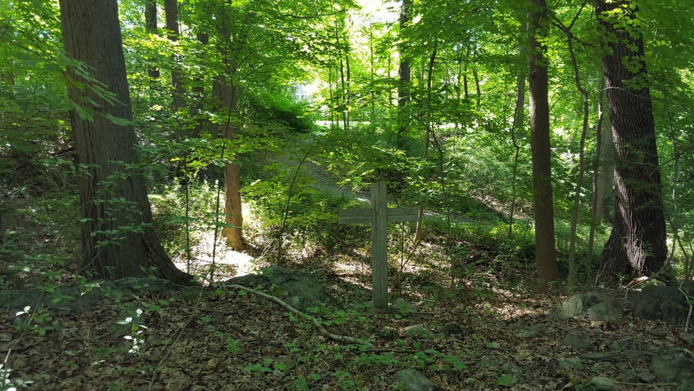
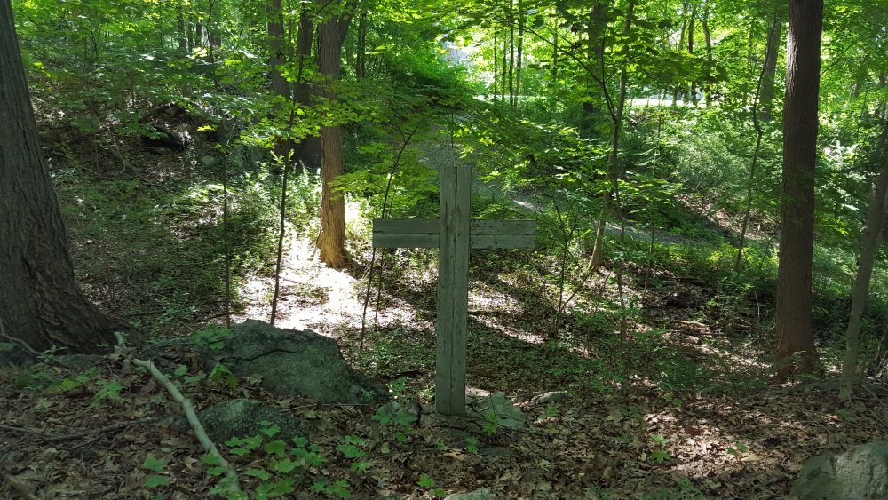
Each step of the way feels rich and fulfilling, I really felt the love and attention that went into creating this place. And all the enjoyment that people have had here. There are spots where you can catch glimpses of the house.

Manitoga Paths View of the House

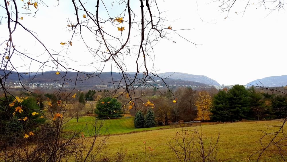
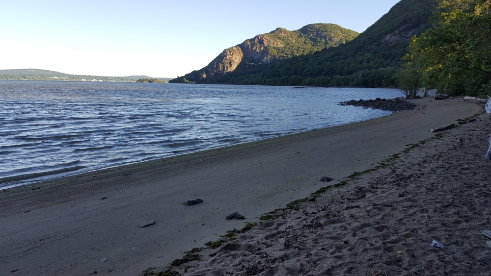
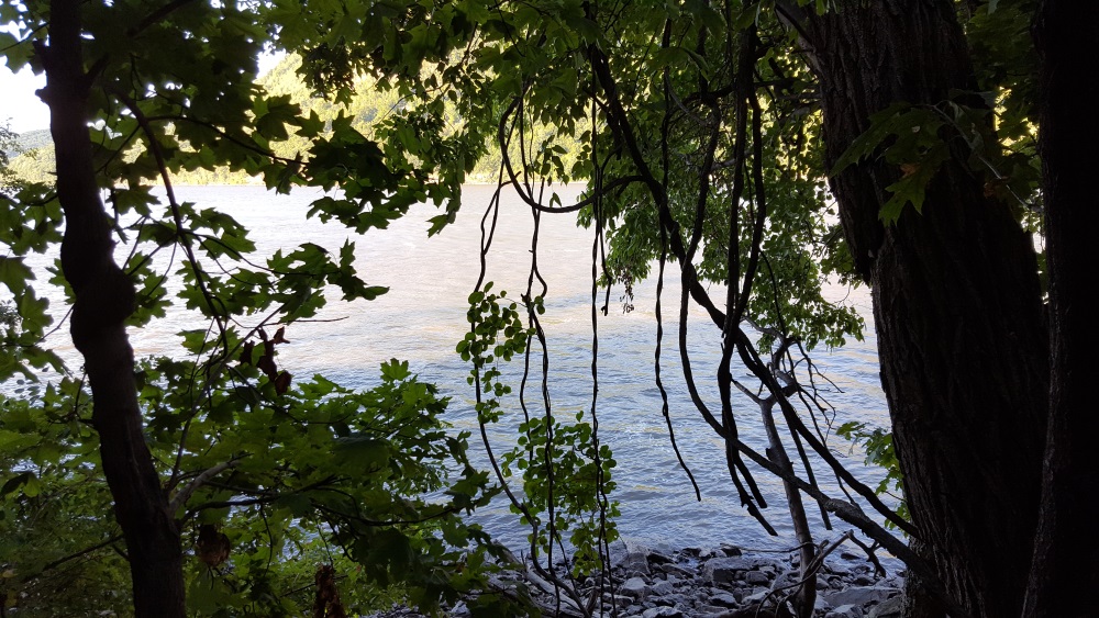
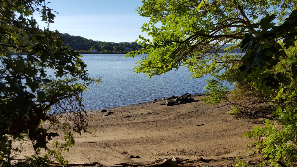
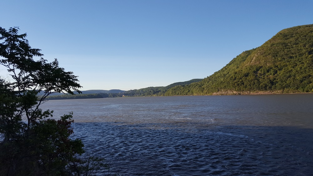
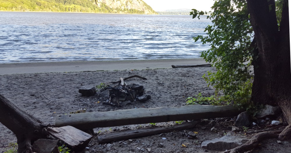
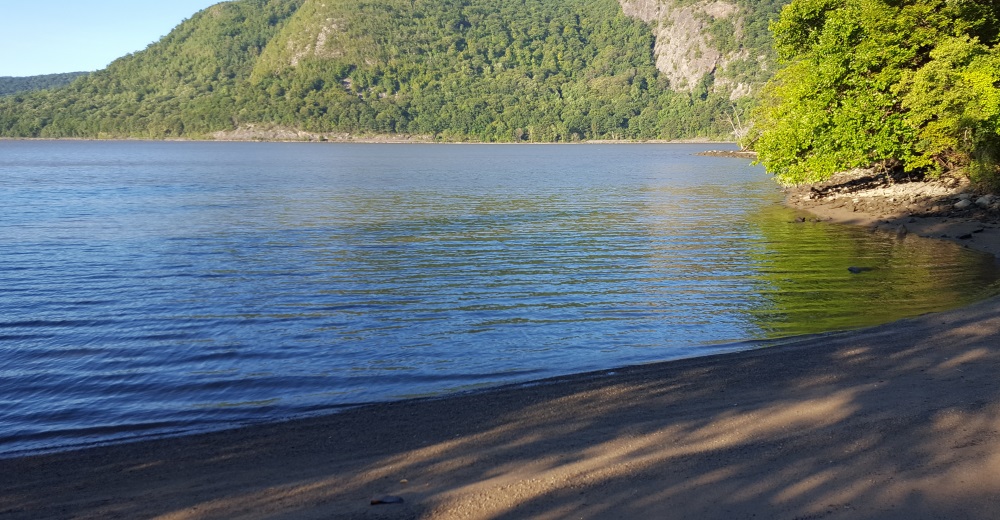
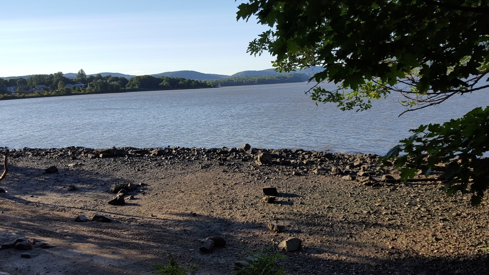
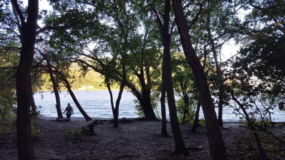
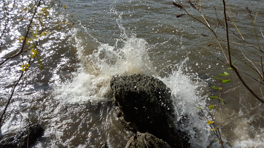
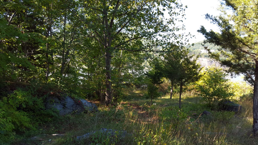
And the mighty Hudson River. At least now that the leaves have fallen.

Manitoga Paths See the river 2 Manitoga Paths River View 
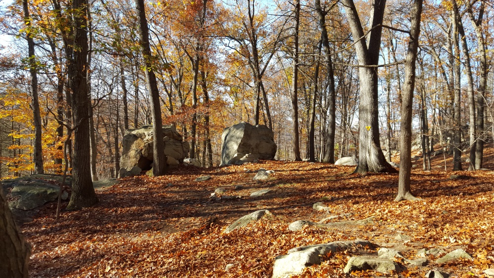
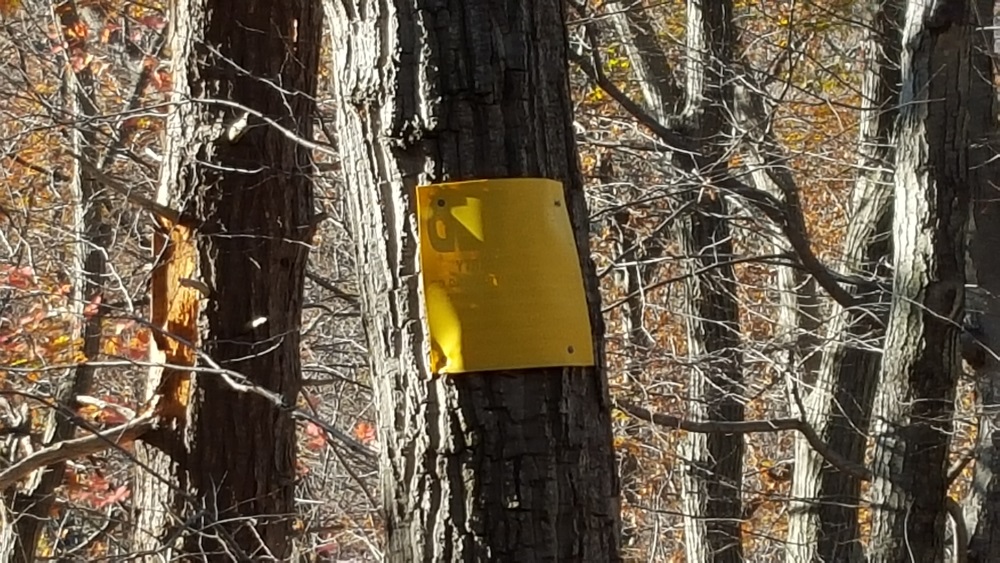
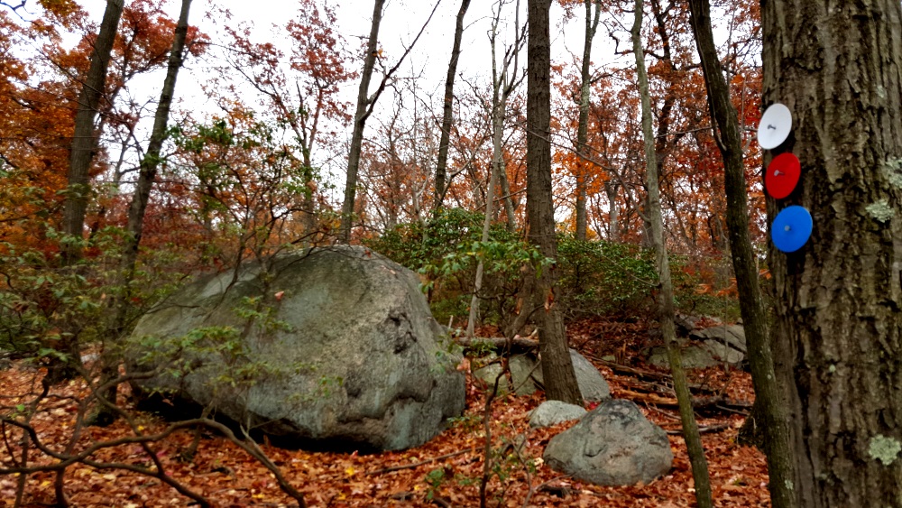
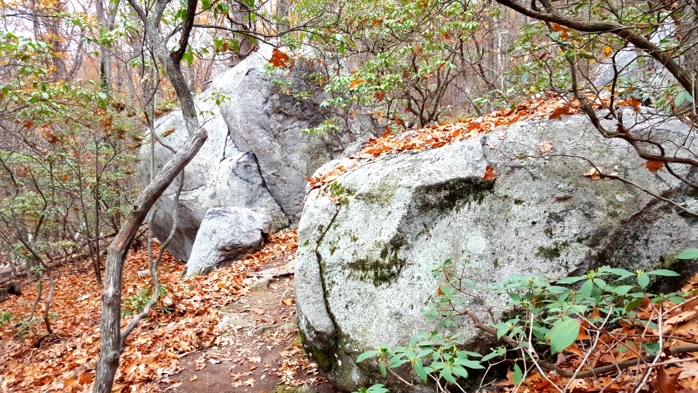
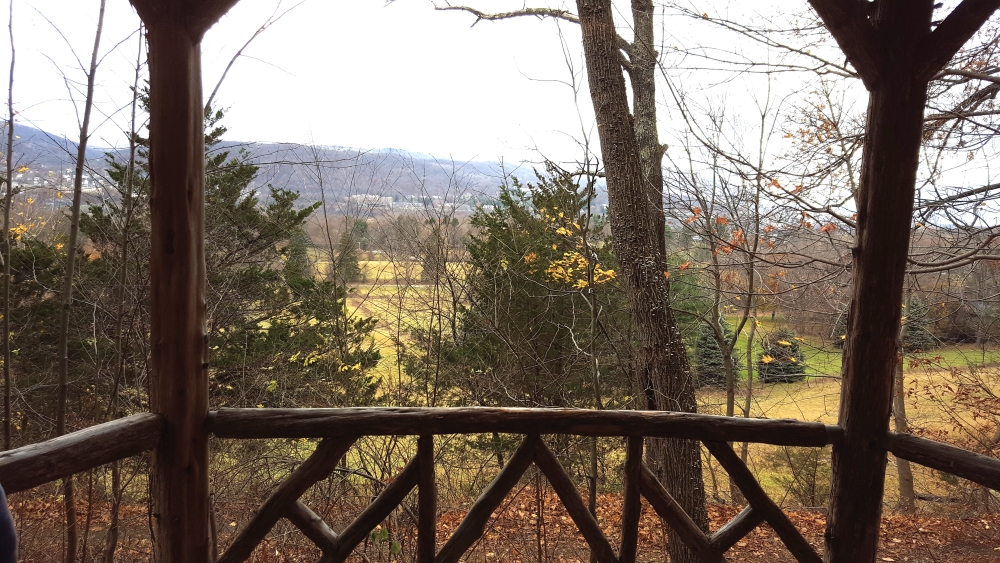
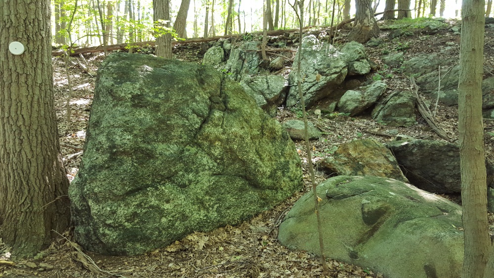
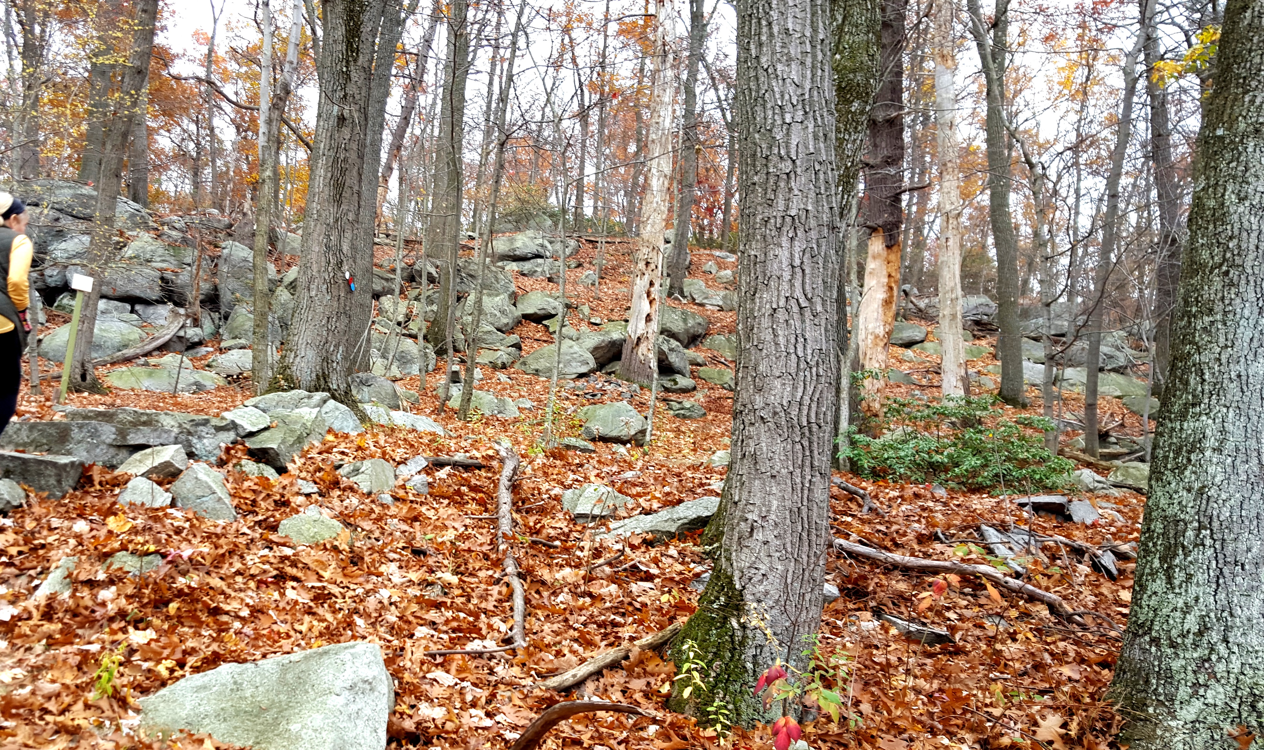
At one observation point, marked ion yellow, there are very old boulders, and the house can be seen from another angle.

Manitoga Paths Overlook Manitoga Paths Glimpse of House

Back on the trail.

Manitoga Paths the Blue Manitoga Paths Markers

The no hunting posting signs are mounted backwards in places, looks nicer that way. 
Manitoga Backwards Posting

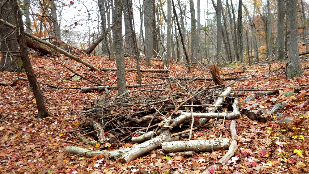
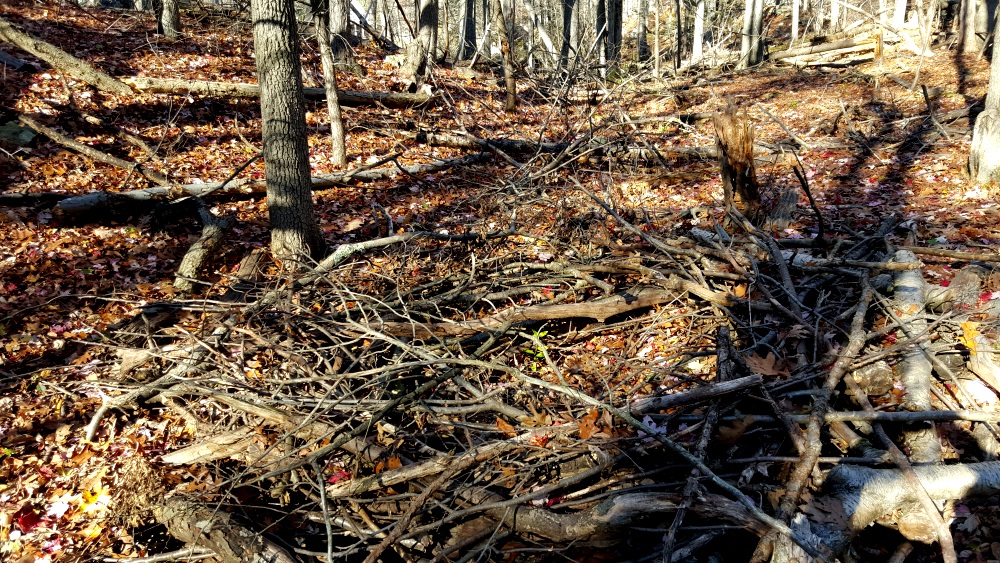
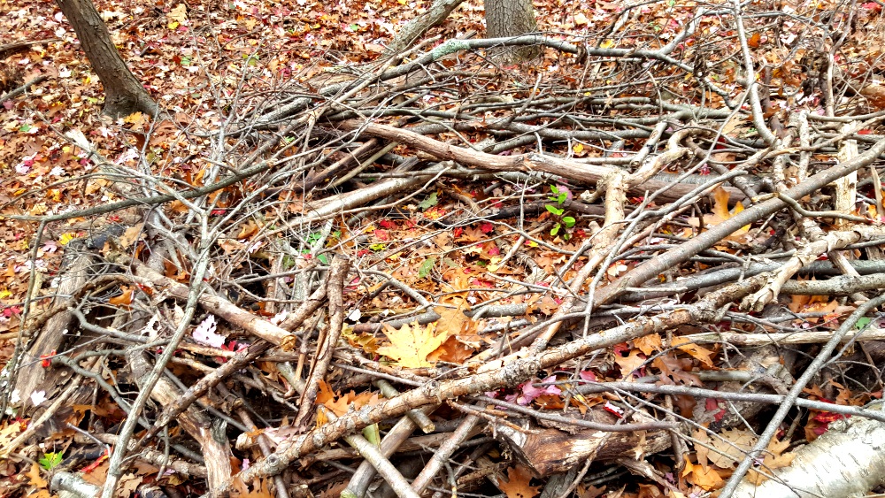
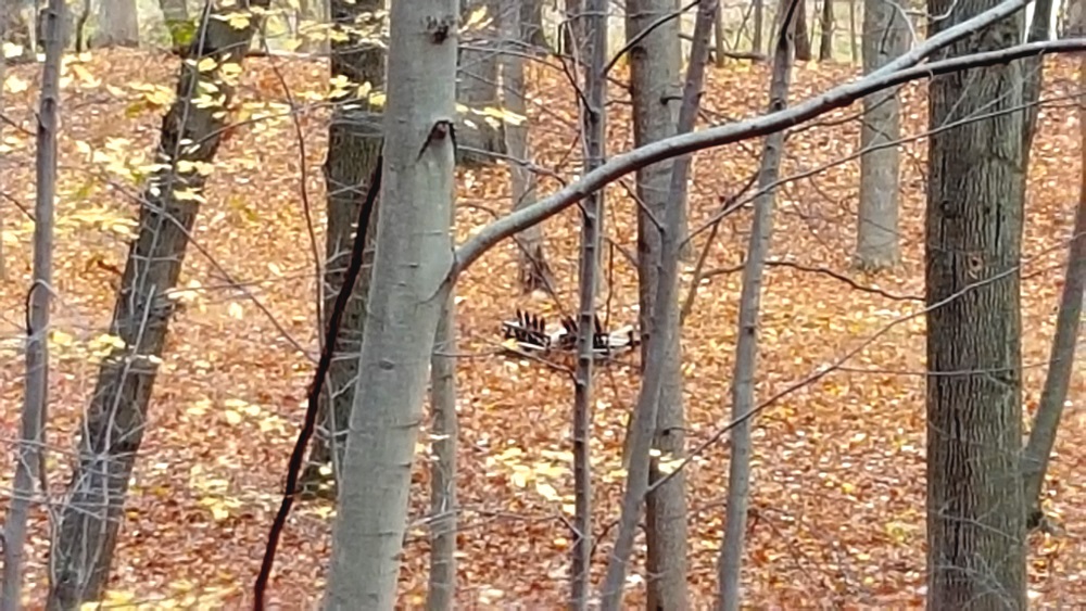
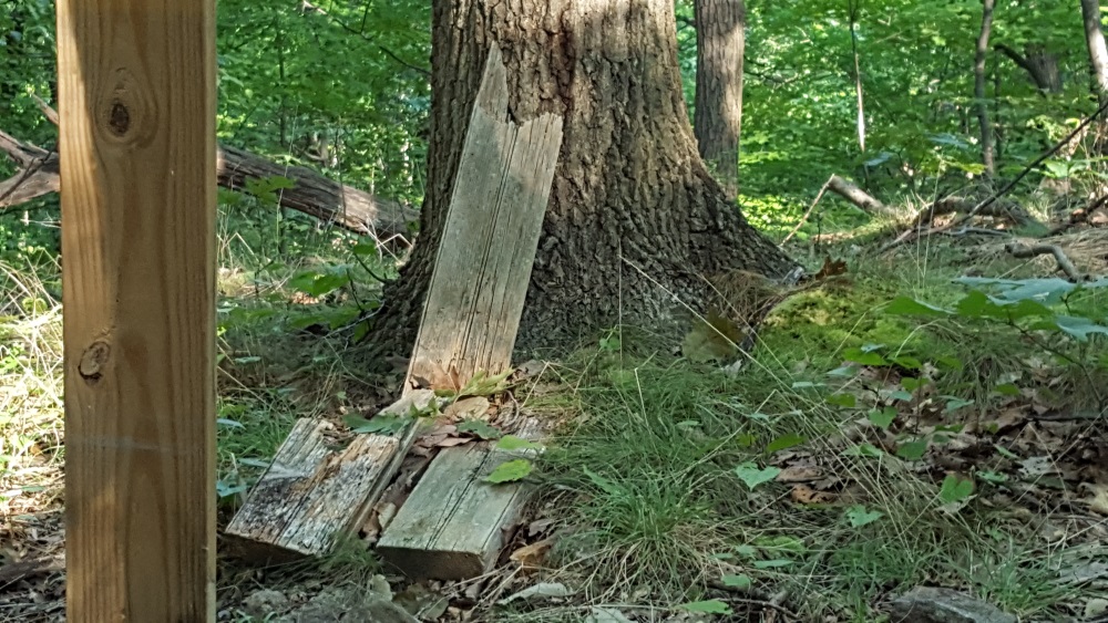
Someone created this nest for a very big bird.

Manitoga Paths Nest for a Big Bird
Manitoga Big Bird Nest
Manitoga Paths Nest for a Big Bird 2

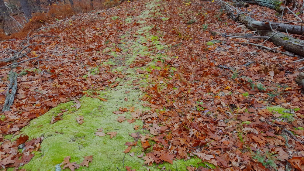
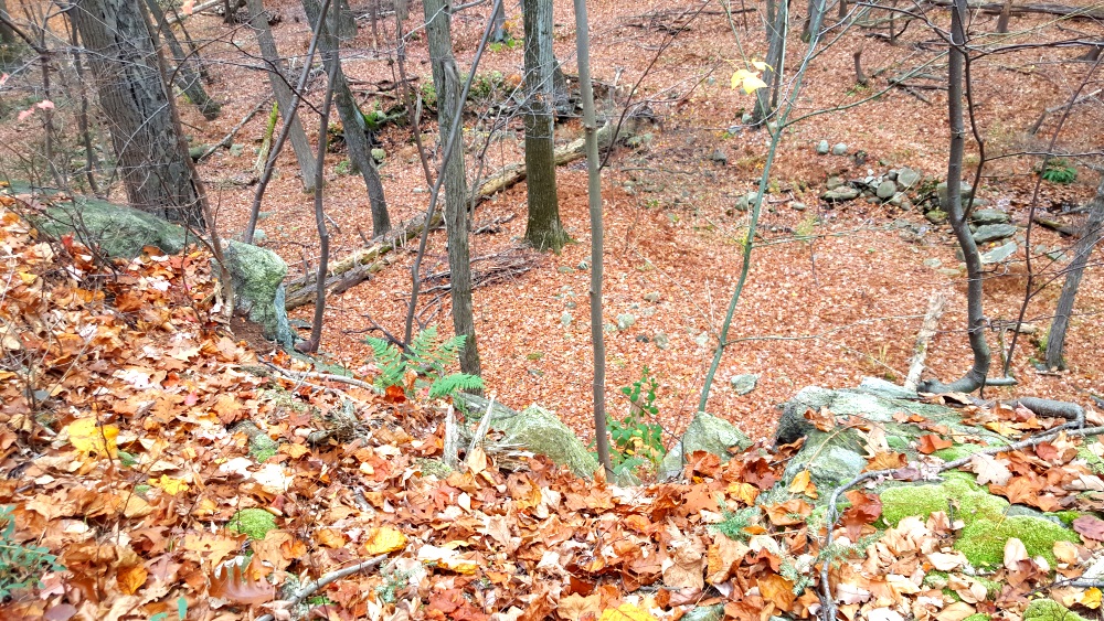
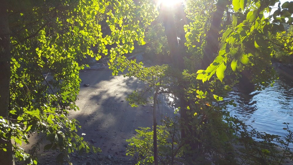
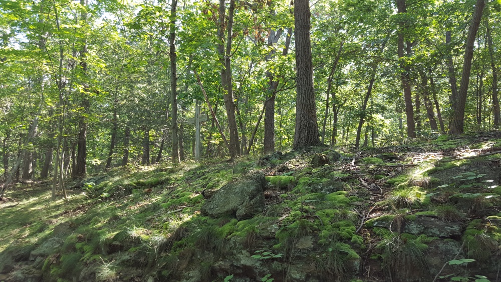
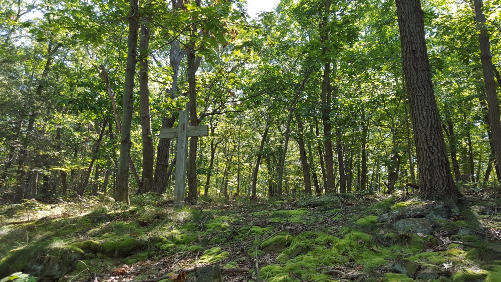
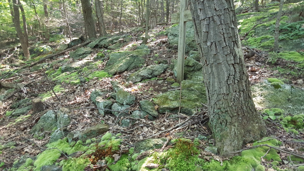
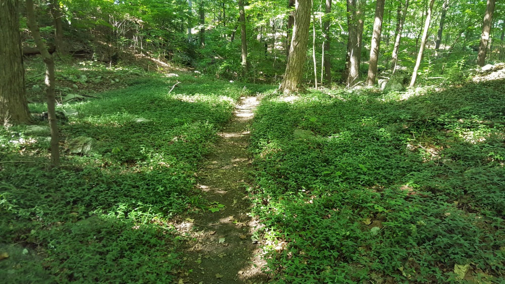
Moss lines some of the paths.
Manitoga Paths Moss

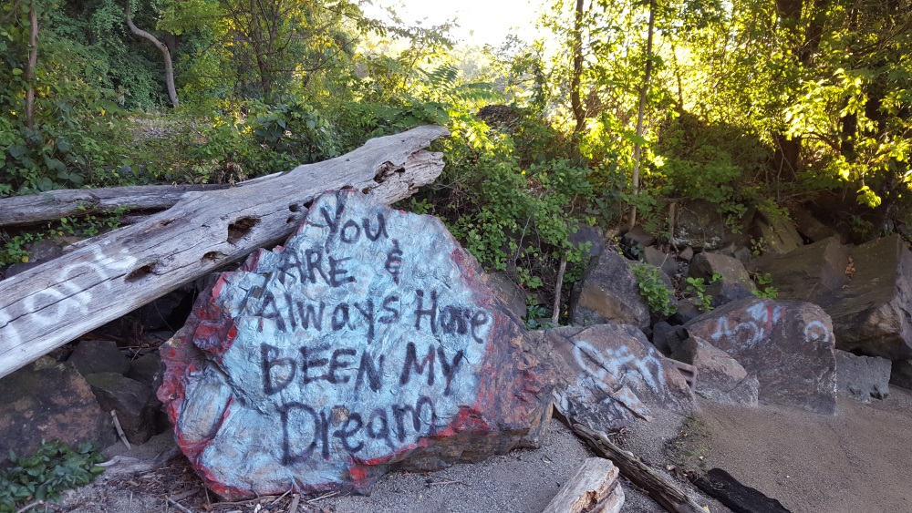
I was expecting this boulder to speak to me.

Manitoga Paths markers for the three trails

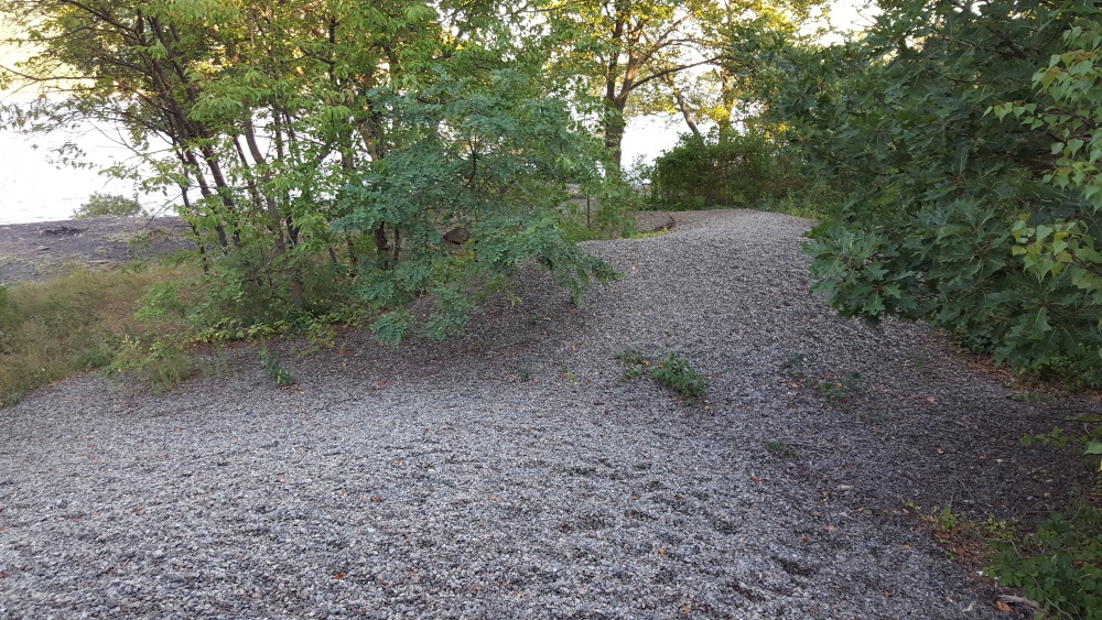
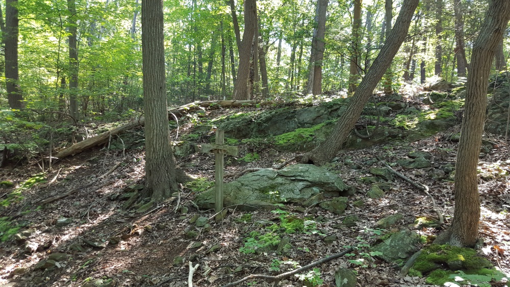
You see how the path ascends.

Manitoga Paths higher 250 feet

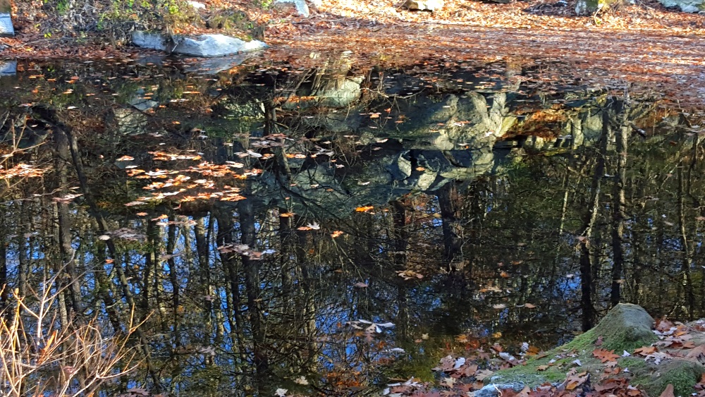
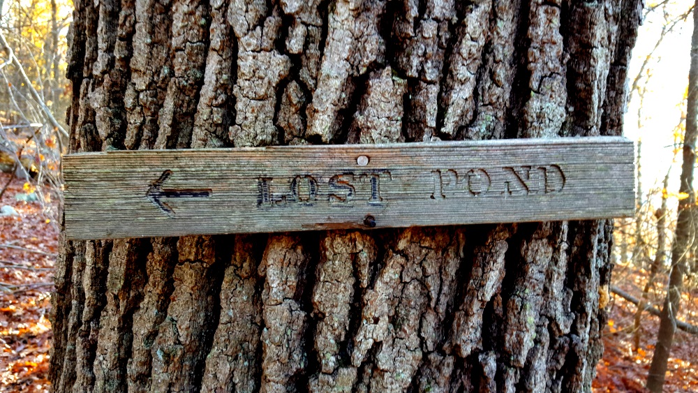
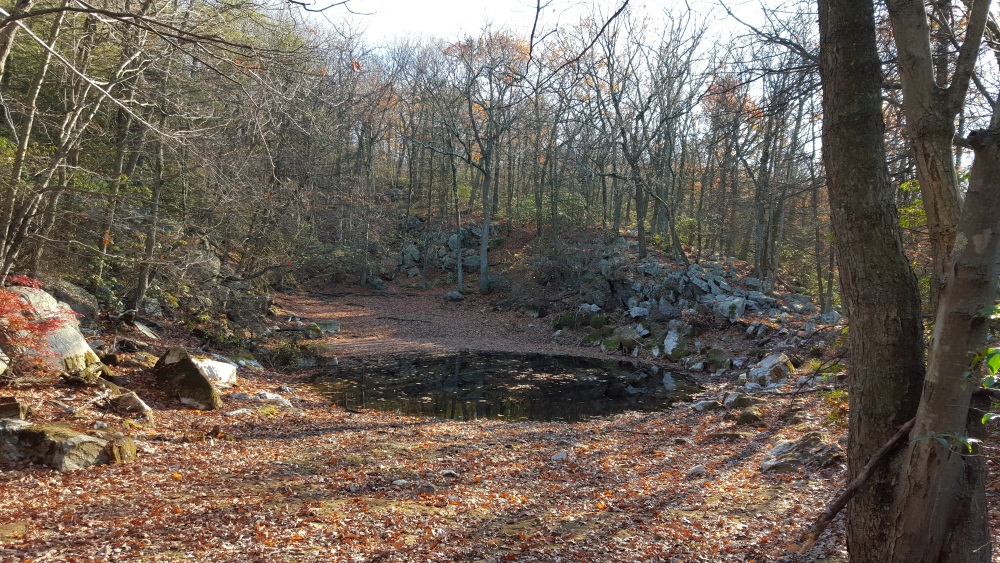
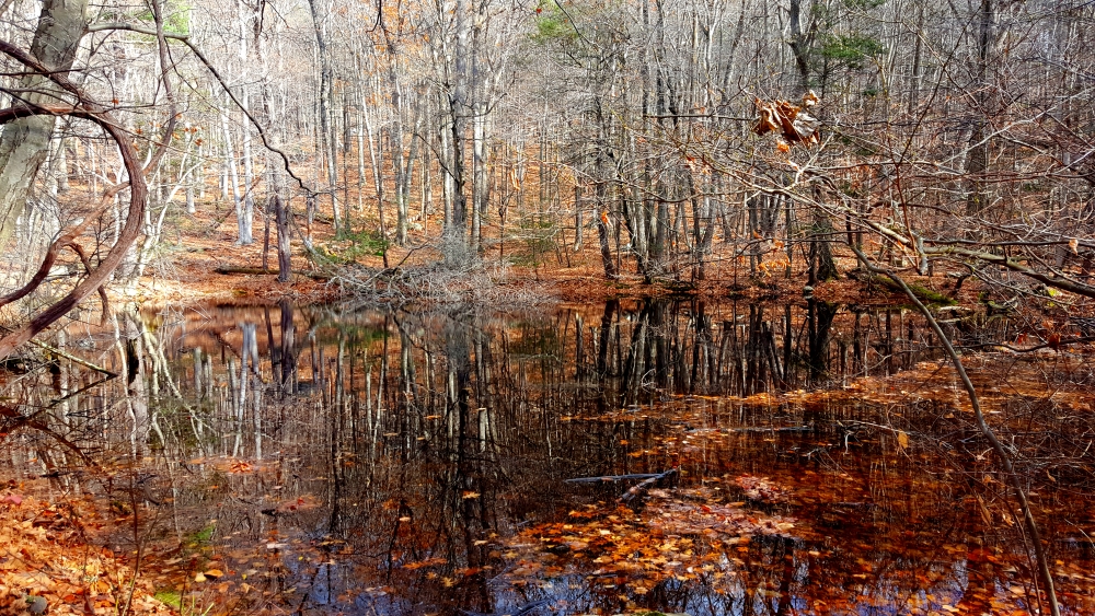
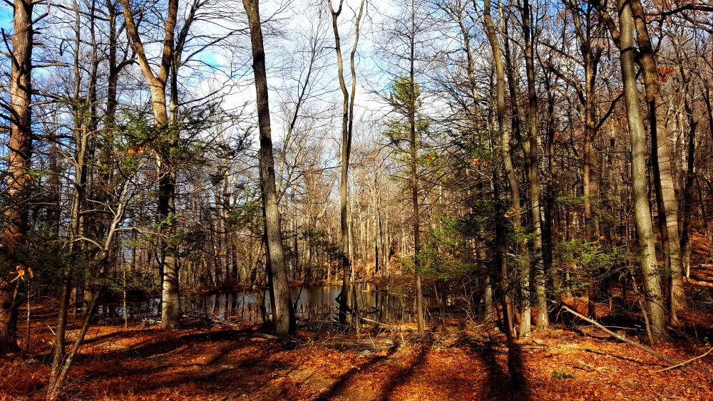
Towards the top is the Lost Pond.

Manitoga Paths Lost Pond Sign

At a low point now, in the spring it is much larger, deeper.

Manitoga Paths Lost Pond

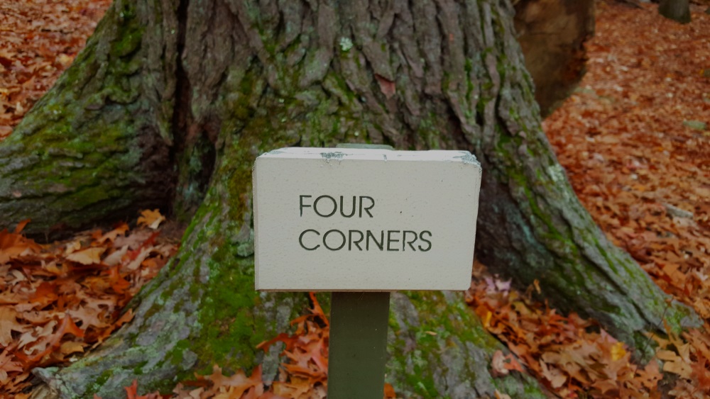
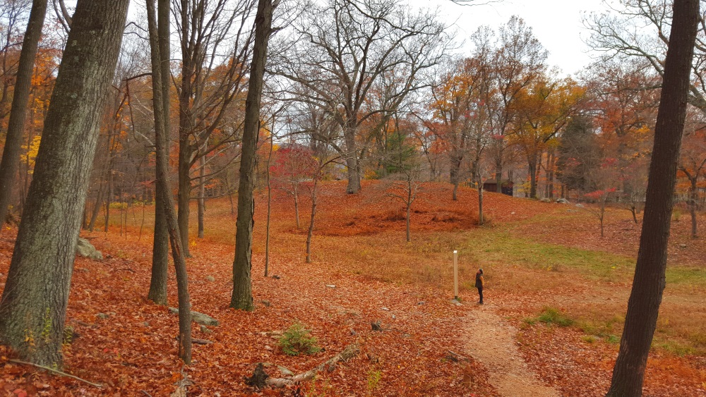
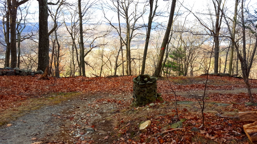
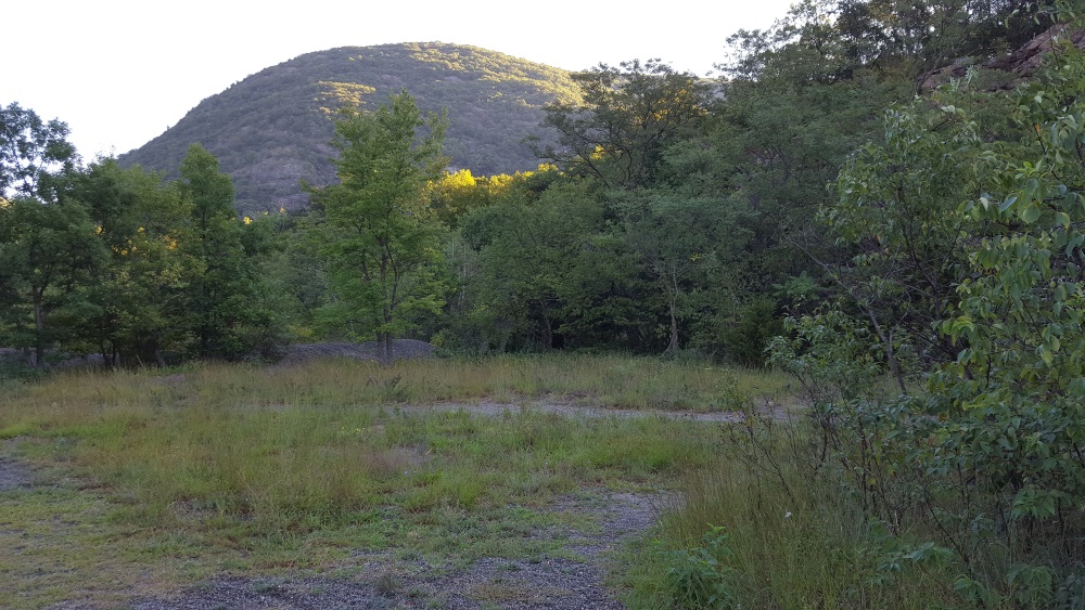
All three paths end here at the area called Four Corners.

Manitoga Paths Four Corners

And then you begin your walk down.

Manitoga Paths Walking back down

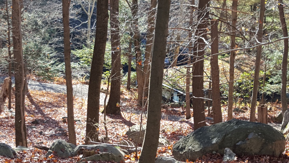
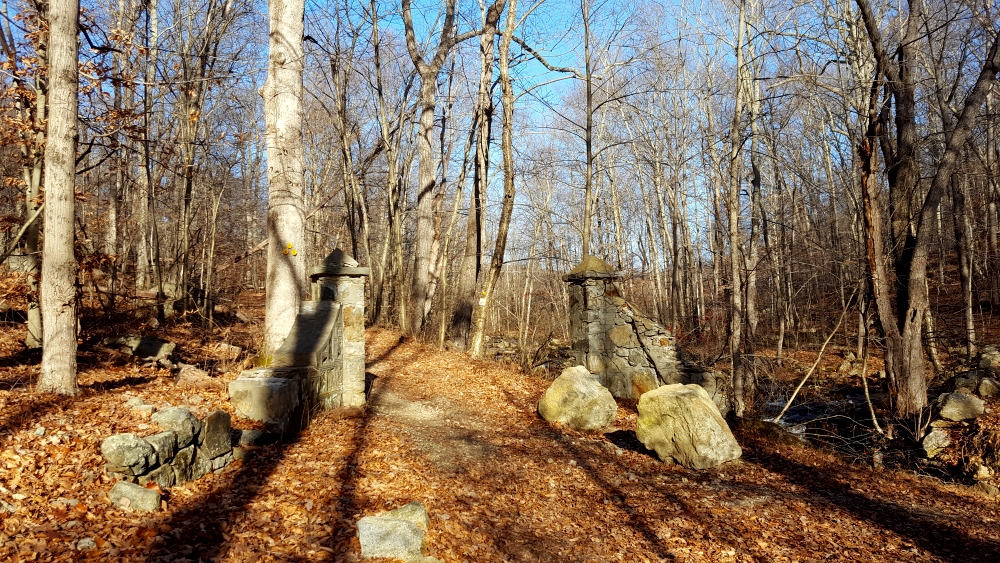
Passing another house. Probably a caretaker’s home. I would not mind.

Manitoga Paths Someone's house

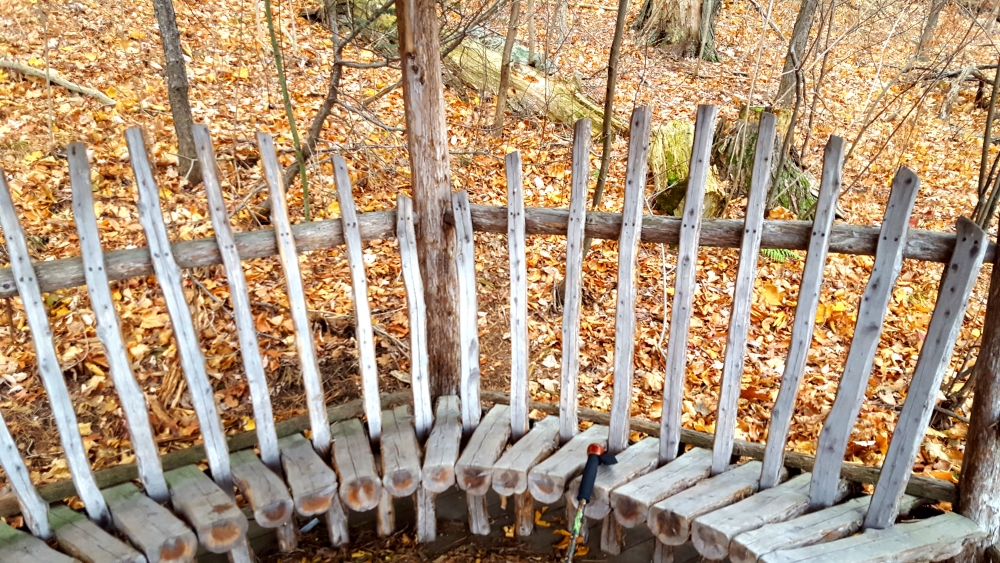
I loved these to Adirondack Chairs in the wood.

Manitoga Path Two ChairsManitoga Paths Study the Guide


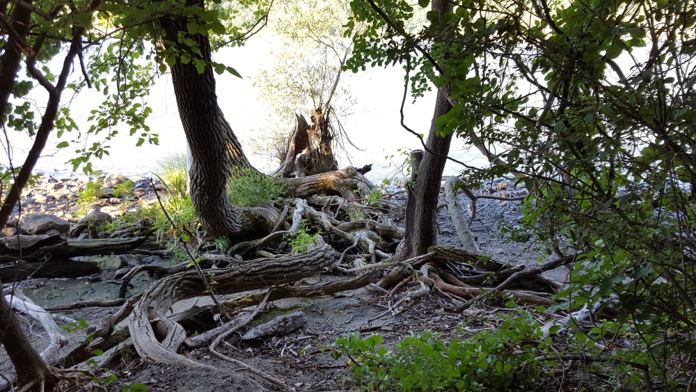
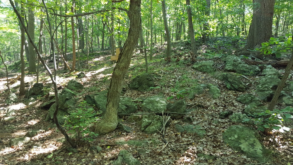
More very old boulders.

manitoga paths very old boulders was a quarry

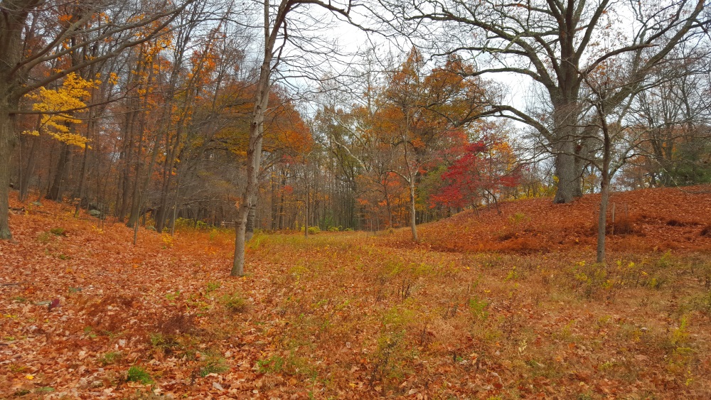
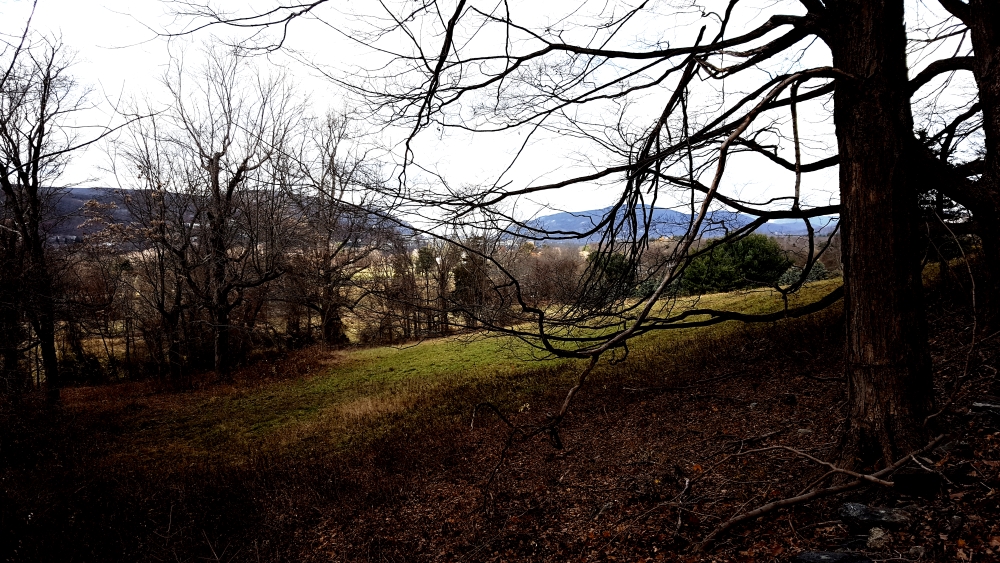
At the bottom is Mary’s Meadow.  I told you there is always a meadow.  Mary was Russel Wright’s wife and Mother of Annie Wright.
 Manitoga Paths Mary's Meadow

Manitoga Paths a rock stair Manitoga Paths Accross the Meadow is a map and guide
Manitoga Paths look back

Manitoga Web Site

Facebooktwitterredditpinterestlinkedinmail

A Precarious Path along the River at Manitou Point Preserve

Manitou Point Crashing Waves of the Hudson

Stories of the Hudson Valley do not reveal why this picturesque spot overlooking the river was once called Mystery Point. It has a narrow path that almost dares you to jump. Now called Manitou Point Preserve it is a easy yet exciting walk.

Today it is protected through efforts of Open Space Institute and Scenic Hudson and with the generosity of John Stryker a philanthropist from Kalamazoo, Michigan. One of the many great joys of living here is our discovery that the many ardent friends of the Hudson Valley come from some of the most unlikely places. Continue reading A Precarious Path along the River at Manitou Point Preserve

Facebooktwitterredditpinterestlinkedinmail

A Woodland Wonder, Frances Stevens Reese Trail of Discovery

Boscobel Woodland Beautiful Map and Story

At Boscobel in Garrison there is a wonderful trail of discovery named after the late Frances Stevens Reese who was a celebrated advocate of land conservation in the Hudson Valley.

It is a “a self-guided discovery hike for outdoor enthusiasts of all ages which provides ample opportunities to learn about the history and environment of a natural forest, Constitution Marsh and the Hudson River.” Boscobel web site. Continue reading A Woodland Wonder, Frances Stevens Reese Trail of Discovery

Facebooktwitterredditpinterestlinkedinmail

Hiking the North Redoubt Trail Steeped in History

Imacon Color Scanner

Created during the American Revolution the North Redoubt and South Redoubt trails in Garrison lead to an awesome vantage point. They carry a great deal of history. It is palpable, you can almost feel the spirits of Continental soldiers who passed this way. Continue reading Hiking the North Redoubt Trail Steeped in History

Facebooktwitterredditpinterestlinkedinmail